
Eau Claire ZIP Coverage at a Glance
Official USPS and Wisconsin classification sources accept three codes with the Eau Claire locality name. Two are delivery ZIPs. The third is a PO-box-style locality, which must not be treated as a residential district. Broad area descriptions help orient a search, but only the USPS ZIP Code Lookup can verify the current code and ZIP+4 for a specific address.
| ZIP Code | Areas Covered | Post Office | Notes |
|---|---|---|---|
| 54701 | Delivery addresses in south, west, and central Eau Claire examples | Eau Claire delivery network | Verify each address; ZIP and city lines may differ |
| 54702 | PO-box and government mailing uses | Eau Claire PO Box service | Not a geographic resident area equal to 54701 or 54703 |
| 54703 | Delivery addresses in north, west, industrial, and other city examples | Main Post Office, 225 E. Madison St. | Delivery ZIP; exact boundary requires address lookup |
The Main Post Office uses 54703-3548 and can be reached at 715-833-6785. Retail hours in the research are Monday through Friday, 8 a.m. to 5 p.m., and Saturday, 9 a.m. to noon. Postal boundaries may extend beyond municipal limits or cross town and county edges. No official parcel-by-parcel boundary audit or local realignment year was located, so neighborhood-level claims should be checked address by address.
Why Eau Claire 54702 Differs
ZIP 54702 is the key local exception. Wisconsin’s classification list treats it as a PO-box-style Eau Claire locality. Government Center and City Hall mailing examples use 54702 or 54702-5148, even though that postal label is not a polygon of homes. An office, owner, or record found with 54702 may point to a mailing destination rather than the parcel’s site.
This affects tax and property searches. A parcel result can show both a situs address, meaning the physical property address, and an owner mailing address. The mailing line may be in 54702 while the land lies at a delivery address in 54701 or 54703. Confirm the situs, municipality, parcel ID, and legal description before drawing a location conclusion.
Verify an Eau Claire ZIP
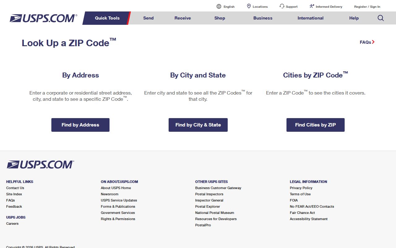
The USPS lookup supports three useful paths. “By Address” standardizes one street address and returns its ZIP. “By City and State” lists codes accepted for Eau Claire, Wisconsin. “Cities by ZIP” reverses a code to accepted locality names. USPS also warns that finding a code does not confirm a person or business at that location.
| USPS mode | Input | Use |
|---|---|---|
| By Address | Street, city, state | Standardized address and ZIP+4 |
| By City and State | Eau Claire, Wisconsin | Current accepted ZIP list |
| Cities by ZIP | Five-digit ZIP | Accepted locality names |
The USPS ZIP Code Lookup interface shown below verifies a current postal code by address.
Keep the exact returned address with the date searched. Postal assignments can change, while an old directory or deed keeps the address form used when it was made.
Find Eau Claire Records by ZIP
A ZIP code directory narrows the area, but each public system uses postal fields differently. County Ascent exposes USPS and mailing-address fields. Those can find owners whose mail uses a code, not necessarily parcels physically located in it. MyVote requires a ZIP in its address workflow for polling and registration details, but it does not publish a browseable roster for every person in a code.
- Verify the exact address and ZIP through USPS rather than relying on a map label.
- Search Eau Claire County Ascent with the least information needed, then open the parcel result.
- Compare the result’s owner mailing line with its site address, municipality, parcel ID, and legal description.
- Use MyVote Wisconsin for the correct address-based election workflow, not as a ZIP roster.
- For lawful voter-data research, Badger Voters may allow a paid request filtered by residential ZIP under its current schema.
County Ascent’s public instructions advise that less information works best. The Eau Claire street directory process takes over once the postal search has narrowed the question to a named street or parcel.
Eau Claire ZIP Fields in Ascent
Ascent is a county property and tax system, not a postal directory. Its public form offers Municipality, Parcel ID, Street Number, Street Name, Mailing Address, USPS, First Name, Last Name, sorting, records per page, and an Inactive checkbox. Results can show parcel, owners, site address, and tax years. Click the parcel number to inspect the record.
| Search field | What to enter | ZIP caution |
|---|---|---|
| Municipality | City of Eau Claire when testing city parcels | Political jurisdiction, not delivery area |
| Mailing Address | House number and street | Belongs to the owner’s mail destination |
| USPS | Current postal value | Exact option labels may vary |
| Street Name | Name only, without Street, Road, or Highway type | Tests the site street more directly |
| Inactive | Leave unchecked for a normal current search | Use only when seeking an inactive parcel |
The public Eau Claire County Ascent screen below exposes its property and mailing search fields.
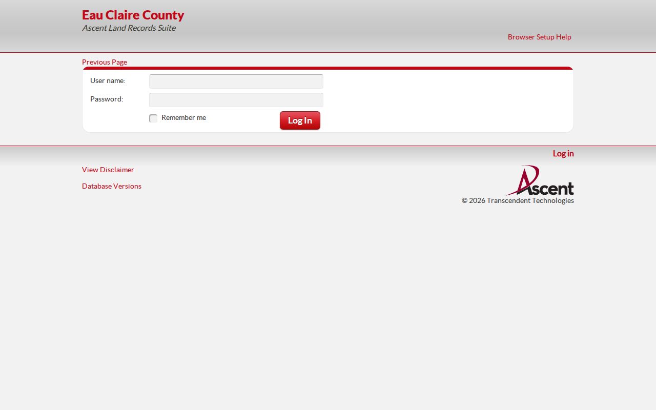
The parcel page, not the search row alone, supplies the facts needed to distinguish mailing and physical geography.
Four Eau Claire Address Meanings
A ZIP search becomes more reliable when each address field keeps its proper role. The situs is the property’s physical location. The mailing address is where the owner receives mail and may be far away. The legal description identifies land through a subdivision lot and block, section-township-range, or metes-and-bounds description. The ZIP serves mail delivery.
- ZIP code
- A USPS routing code for mail delivery, not a city boundary.
- ZIP+4
- A more specific postal code for a delivery segment, box group, or address range.
- PO-box ZIP
- A code centered on post-office boxes rather than a normal delivery neighborhood.
- Carrier route
- A postal delivery path that can cut across other geographic boundaries.
Eau Claire County parcel IDs may be 19 digits, with an alternate number also shown. Copy the number from Ascent or Beacon rather than trying to decode it. It connects the site address to its tax and legal record even when postal labels differ.
Eau Claire Voter ZIP Limits
MyVote’s address search asks for street address, unit, city, and ZIP. It returns polling, ballot, election, and registration information for that workflow. A name search instead requires first name, last name, and birth date. Neither mode offers a public list of everyone in 54701 or 54703.
Badger Voters is the proper route for a statewide voter-file request. It can use county, municipality, ward, and other available filters, with an estimate, payment, and CSV download. Public registration data may include name, residential address, status, and election participation, never ballot choices. Birth date, driver-license number, Social Security number, and confidential-elector data are restricted.
Note: A voter address confirms a registration record under its rules; it is not a complete household list or proof of current occupancy.
Historic Eau Claire Addresses Before ZIPs
Old Eau Claire directories cannot be searched by a modern ZIP as if the postal geography had always existed. The city grew from three river villages, with bridges across the Eau Claire River in 1859 and the Chippewa River in 1869. The first locomotive arrived in 1870, and the three villages incorporated as Eau Claire in 1872. Early records may use village or county labels.
For an old address, compare the 1880–1923 directories with Sanborn maps, plats, deeds, tax parcels, and newspaper notices. The exact local Sanborn year list and any citywide renumbering year were not verified. Planning, the County Clerk, or another custodian may hold an ordinance or older address map available through a request under Wisconsin Public Records Law.
Eau Claire ZIPs Versus City Limits
A ZIP code follows USPS delivery geography. Eau Claire city limits follow municipal law, county parcels follow tax and land boundaries, and Census ZIP Code Tabulation Areas are statistical approximations. County and city staff jointly maintain one NG911 street-centerline and address-point database for dispatch, but that does not turn a postal code into a legal boundary.
Mail with an Eau Claire locality can reach beyond the city, while an owner mailing address can differ from the property site. County GIS can place a parcel and show nearby boundaries, though the city warns that compiled maps can contain errors and do not replace recorded deeds, plats, or a professional survey. Preserve the USPS result, parcel situs, municipality, and legal description together.
- USPS delivery area
- The routes and addresses served under a postal code.
- City limit
- The legal boundary of the City of Eau Claire.
- ZCTA
- A Census approximation built for statistics, not official mail routing.
- Parcel boundary
- The mapped outline tied to a land record; the recorded document controls legal questions.
When the sources disagree, use USPS for the mailing code, Ascent or Beacon for the parcel and municipality, and the recorded deed or plat for legal land facts. Ask Planning at 715-839-4914 about annexation or older city-boundary records when a historic mismatch remains.
Map Eau Claire Beyond ZIP Codes
Eau Claire County’s tax-parcel GIS service adds land boundaries that a ZIP code directory cannot supply. The public service supports map display, identify, query, find, and export operations. Its layers include tax parcels, while the county also maintains 911 street centerlines, addressing, supervisory districts, and zoning data. City parcels are integrated for statewide parcel-data work.
GIS is useful after a postal lookup. Find the subject parcel, record its parcel ID, and compare its location with the city line or nearby parcels. Do not expect the tax-parcel service to return a proven ZIP filter; that field was not demonstrated in the inspected interface. A separate Census ZCTA layer can approximate postal geography for statistics, but it does not control USPS delivery.
The Eau Claire County GIS service shown below supplies parcel geography beyond postal boundaries.
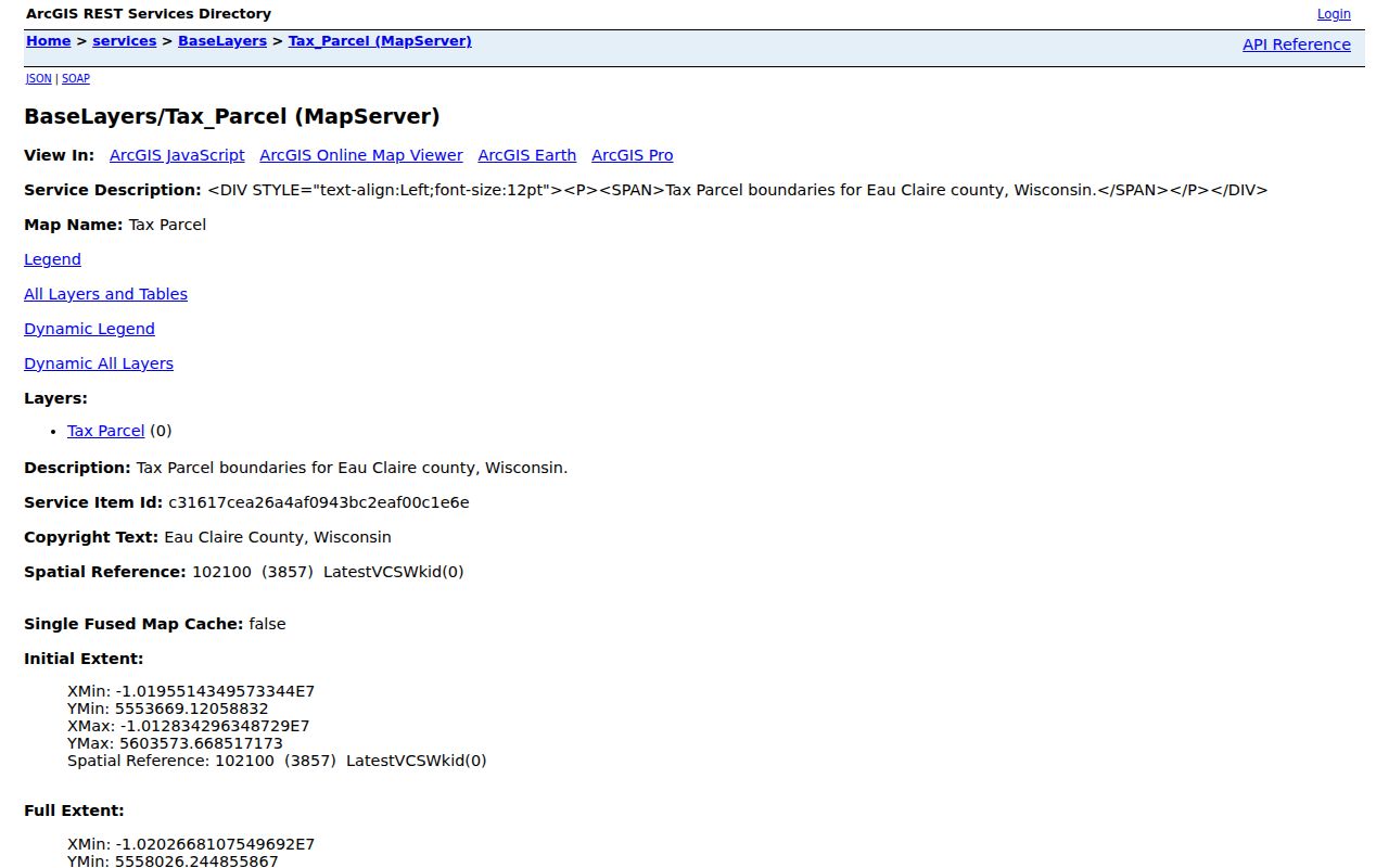
The city cautions that compiled maps may contain errors. A recorded deed, plat, or survey controls a legal land question.
Eau Claire Neighborhoods Are Not ZIPs
Neighborhood names add local context, but they are a different layer. City plans and association materials refer to East Side Hill, Historic Randall Park, North River Fronts, North Side Hill, Shawtown, Third Ward, West Riverside, Buffington, Airport, Dells, Princeton Valley, Sundet, Upper Westside, Westridge, Putnam Heights, and Downtown. None should be treated as a synonym for 54701 or 54703.
A single ZIP can hold several neighborhood identities, wards, tax districts, school areas, and legal subdivisions. Start with USPS when the question concerns mail. Use Planning or an adopted neighborhood plan for the neighborhood label. Use MyVote for the polling and ward context tied to an address. Use the parcel system for municipality, tax districts, and land description.
This separation prevents a common error: assigning every address with one delivery code to the same civic area. The ZIP narrows a postal search, while the street address and parcel establish the finer geography.
Request Eau Claire ZIP Records
No official historical ZIP realignment year or complete address-level boundary audit was located. When an older map, annexation record, or address change is needed, make a focused request to City Planning, the City Clerk, the County Clerk, or the custodian that holds the record. Wisconsin Public Records Law, Wis. Stat. §§19.31–19.39, permits inspection or copies subject to statutory exceptions and a public-interest balancing test.
Describe an existing record rather than asking the office to create a new analysis. Include the street or area, approximate date range, type of map or ordinance, desired file format, and whether a copy must be certified. Wisconsin has no fixed statewide response deadline. DOJ guidance calls for a response as soon as practicable and without delay. Lawful reproduction costs may apply.
- Save the USPS result for the exact current address.
- Copy the parcel ID, site address, municipality, and owner mailing address from Ascent.
- State the suspected mismatch and date range in the request.
- Ask for the annexation map, address ordinance, postal correspondence, or other named record.
- Preserve the office response with the postal and parcel evidence.
Audit an Eau Claire ZIP Result
A strong ZIP-to-person or ZIP-to-parcel audit keeps the source fields side by side. First preserve the standardized USPS address. Next capture the Ascent search terms and parcel page. Separate the owner mailing address from the property site. Then confirm the municipality and legal description. If election geography matters, use MyVote for the exact address or the official Badger Voters request route.
| Postal proof | USPS address result and ZIP+4 |
|---|---|
| Property proof | Ascent parcel ID, site address, municipality, and legal description |
| Map context | County GIS parcel and relevant boundary layers |
| Election context | MyVote address result or authorized voter-file extract |
| Historical bridge | Directory, plat, Sanborn map, ordinance, or newspaper notice |
Each record answers a different question. A postal result says where mail routes. A parcel identifies land. A voter record reflects registration under election law. A historic directory captures a printed listing for its edition. Agreement across those records is useful evidence, but no one field alone creates a complete roster of residents.