
Walk an Eau Claire Street
Start by standardizing the address with USPS. Delivery data is not residence proof. Match it in City Beacon or County Ascent, then save the situs address, owner, parcel ID, and legal description.
- Confirm the postal form, city, unit, and ZIP.
- Find the parcel and current assessed owner.
- Check adjacent shapes in county GIS.
- Follow the current owner through the deed index.
- Compare lawful voter data and historical directories.
Repeat the same sequence for each address. This keeps owners, mailing contacts, and occupants from being mixed together.
Work one side of the street at a time and save every parcel ID before moving to the next block. Number gaps may be vacant land, a corner parcel facing another road, a parcel split, or a map mismatch. Check the GIS polygon instead of inventing a missing address. For an apartment or multiunit building, the tax roll will often describe one parcel and one assessed owner, not a roster of units. A lawful voter-file request or an older criss-cross directory may add names for a specific date, yet neither turns the assessment card into proof of the full household. Record the tax year, directory year, or voter-file date beside each name so later changes stay visible.
A long street may cross city, town, postal, or tax boundaries. Set the municipality before treating one result list as the whole Eau Claire street directory. Record the query date as well. Assessment rolls, voter files, and permit systems change on different schedules, so two official results can be accurate for different points in time.
Eau Claire Street Search Fields
Ascent says “less is best.” Enter a street name without Street, Road, or Boulevard, choose City of Eau Claire when useful, and open the red parcel number.
| Field | Use | Note |
|---|---|---|
| Municipality | Limits the area | Optional |
| Street number/name | Finds situs parcels | Omit street type |
| Parcel ID | Finds one parcel | Exact format |
| Mailing address/USPS | Tests owner mail | Not situs |
| Owner name | Finds title name | Use few terms |
| Inactive | Finds retired parcels | Off for current work |
The result can show Parcel, Owner, Site Address, and Tax Years. The parcel page links the street to the tax roll and deed work.
View the official Ascent interface below.
Its separate street and mailing fields show why one address value cannot answer every question.
Eau Claire Records by Street
The Eau Claire street directory is assembled from separate custodians. Each source has a narrow purpose.
| Record | Keeper | Shows | Access |
|---|---|---|---|
| Assessment | City Assessor | Owner, situs, building facts | Beacon |
| Tax parcel | County | Owner, parcel, tax year | Ascent |
| GIS | County GIS | Shape and adjacency | Public query |
| Deeds/plats | Register of Deeds | Parties and legal land | Tapestry/counter |
| Voter roll | WEC | Allowed elector fields | MyVote/file request |
| Permits | City Inspections | Released project facts | Office/request |
A parcel number ties the assessment to taxes. The legal description tests a deed or plat. Neither establishes every person in the household.
Separate Eau Claire Address Types
A street search can expose four address-like facts that should never be merged. The situs is the physical location used for the parcel and building. The owner's mailing address is where tax notices go, which may be another home, a post office box, a business, an attorney, a trust, or an estate contact. A legal description identifies land through a subdivision lot and block, a certified survey map, or a section-township-range description. USPS data controls mail delivery and ZIP coding. Each value serves a different office.
Copy all four fields when the Eau Claire street directory produces a likely parcel. If the mailing and situs addresses match, the record is consistent with owner occupancy but does not prove it. If they differ, do not assume the owner moved. The parcel could be held as an investment, by an estate, or through another lawful arrangement. Ascent's mailing search may locate parcels through the address receiving notices, while its street search is better suited to the physical road being studied.
The parcel ID and legal description are the safest bridge to other Eau Claire records. House numbers and street names can change, parcels can split or merge, and a mailing ZIP can point outside the city. Recorded plats and certified survey maps show how boundaries were created. County GIS supplies helpful shape and adjacency context, but the city mapping disclaimer makes clear that the recorded instrument controls a legal or survey question.
Read an Eau Claire Parcel
City property information routes addresses to Beacon. Its modes include name, address, parcel ID, and combined search. Reports may show the property address, legal description, districts, owner and mailing address, building style, year built, area, rooms, baths, garage, and sketch.
- Parcel
- A unit of land tracked for assessment and mapping.
- Situs address
- The physical parcel location, not the owner's mailing address.
- Plat
- A recorded map defining lots, blocks, roads, and boundaries.
- Criss-cross directory
- A directory arranged by street or address instead of surname.
A trust, estate, company, or person elsewhere may hold title. Even matching situs and mailing fields are only consistent with owner occupancy, not proof.
Beacon and Ascent serve different views. City Beacon supplies city assessment and map context, while county Ascent provides a broader property and tax search. Parcel number, alternate number, section-township-range data, subdivision, block, lot, and acreage can bridge a common address to the exact tract in a deed. Save those fields before searching by a person's name.
Map Eau Claire Street Parcels
The county GIS tax-parcel service offers Identify, Query, Find, and Export Map. Click one polygon, save its ID, and inspect adjoining polygons. County layers include parcels, emergency street centerlines, addressing, districts, and zoning.
The public service supports JSON, geoJSON, and PBF query output, with a 2,000-record selection limit. Those tools can inventory a long block, but the layer does not name occupants. Record each parcel ID and mapped shape, then open that ID in Beacon or Ascent. Use its legal description for the recorded land search.
The captured GIS service shows its public operations.
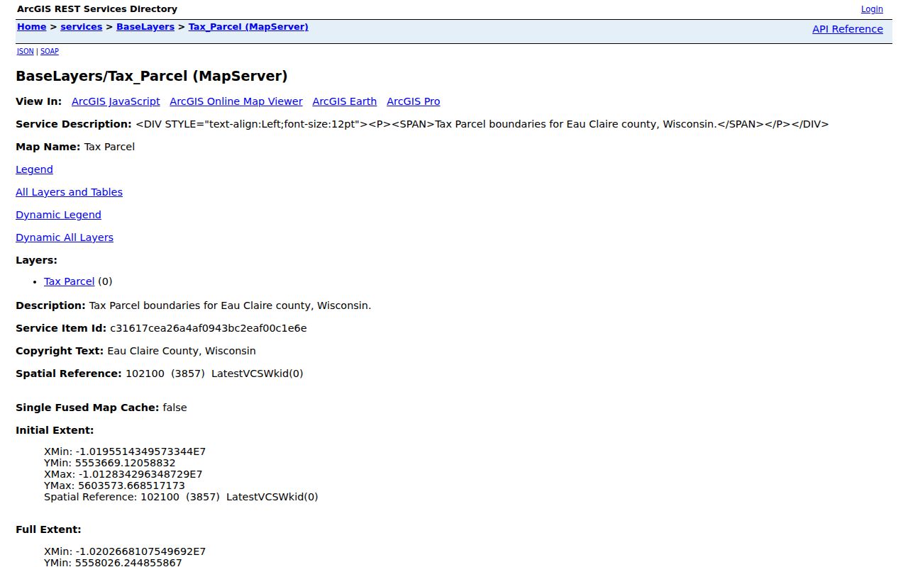
GIS locates mapped shapes but does not prove title or occupancy. City mapping warns that compiled maps may contain errors and do not replace a recorded document or field survey.
Trace Eau Claire Street Deeds
Search the current owner as grantee, the receiving party, in Tapestry. Save the grantor, document type, recording date, reference, and land description. Then search that grantor as a grantee. A mortgage or release is not a transfer.
Tapestry supports searches by party, document number and type, date range, consideration, subdivision, lot, block, parcel, section, township, range, and quarter. Its guide uses a percent sign as a wildcard. Compare the legal land description, not just the party name, before assigning a deed to an Eau Claire address.
The official remote entry appears below.

Nonmembers may use credit-card search. Charges can apply. The county's exact online start year was not verified, so an empty result should lead to the Register of Deeds counter, deed books, microfilm, or Area Research Center.
Eau Claire Permits by Address
City Inspections handles building, HVAC, electrical, plumbing, sign, floodplain, zoning, and upkeep matters. No verified public address index was captured. Ask the office or make a City Clerk records request with the address, date span, permit type, and desired format.
A permit can date a building change and name a released owner, applicant, or contractor. A complaint does not prove a violation, so seek the final disposition.
The inspections office is at 203 South Farwell Street and can be reached at 715-839-4947. Its hours are Monday from 7:30 a.m. to 6:00 p.m. and Tuesday through Thursday from 7:30 a.m. to 4:30 p.m.; it is closed Friday. Give staff a precise Eau Claire address and a useful date range. Ask separately for the permit, inspection status, and any releasable code-case disposition.
Eau Claire Voters by Street
MyVote accepts street, unit, city, and ZIP for polling information, but it does not browse a block. Wisconsin Statute §6.36 permits inspection of the official registration list while withholding birth dates, license and Social Security numbers, confidential-elector data, accommodations, and ballot choices.
Badger Voters is the lawful filtered-file route. Children, unregistered adults, and protected voters mean it can never be treated as a complete household roster.
Badger Voters uses an account, quote, payment, and CSV download workflow. Requests can be filtered by county, municipality, ward or district, and selected data elements. Election participation may be public, but ballot choices are always secret. Wisconsin does not register voters by party. Keep the file date with any street analysis because registrations and addresses change.
Eau Claire Streets Before 1872
East Eau Claire, West Eau Claire, and North Eau Claire joined as one city on March 19, 1872. Early records may use a village, town, or county label. Search all three older names in maps, directories, census records, and newspapers.
Digitized directories span 1880 through 1923. The exact local reverse-directory run and a citywide renumbering year were not verified. Bridge an old address with plats, legal descriptions, Sanborn maps, council records, and newspapers. Consult the Eau Claire city directory collections for the historical shelf.
Note: Never assign a renumbering year without a city ordinance, dated map, or contemporary notice.
Eau Claire Deed Scanning Changes
Recent county work explains why two street searches can produce different levels of detail. Eau Claire County budget material reported that more than 200,000 documents were scanned in early 2024 and imported while indexing was still pending. It also said about 70 percent of documents were electronic before January 2025, with the share rising to about 80 percent after workflow changes. A scan may therefore exist even when a name or street query does not yet lead to it. The index and image are related, but they are not the same product.
County reporting for 2025 lists 15,999 recorded documents, compared with 14,282 in 2024. That volume gives useful context for an Eau Claire street directory search. It does not mean all documents are online, searchable by address, or free to view. If Tapestry returns no match, give the Register of Deeds the legal description, likely party names, document type, and a narrow date span. Ask whether staff can search the local index, whether an image is available at the counter, and what copy charge applies before ordering.
Back-indexing can change a result after an earlier search. Save the query terms and search date. When a deed image appears with little indexed text, read its legal description rather than relying on a displayed house number. Subdivision names, lot and block references, certified survey maps, and section-township-range descriptions can keep the chain intact after a street name or address changes.
Note: A missing online hit may reflect unfinished indexing, limited remote coverage, or a changed legal description rather than a missing deed.
Eau Claire Street Directory Limits
A search cannot reveal every renter, child, guest, or unregistered adult. Utility accounts are not a public household directory. DMV addresses and protected voter records have legal limits. No deed, permit, voter entry, or old directory proves a person's current presence.
Verify an assessment with the assessor and a deed with the Register of Deeds. Commercial results can be stale or blend namesakes.
Lawful use. Use address records for family history, property questions, civic curiosity, or scam checks. Never use them to stalk, harass, threaten, or harm anyone.